Authors: Peter Bryant, Past President, Newport Bay Conservancy and Nathan Taxel, Resource Specialist, Upper Newport Bay Nature Preserve, OC Parks
Do you have a collection of photographs of local plants or animals? Do you want to make them available to other interested naturalists? iNaturalist is the answer. iNaturalist is a project that allows contributions of photos and data from naturalists and photographers of all skill levels, to support citizen science and community awareness of biodiversity and to promote further exploration of local environments.
A joint initiative by the California Academy of Sciences and the National Geographic Society, iNaturalist allows users to connect with a community of over 400,000 scientists and naturalists all over the world to compare and map observations, receive assistance with identification of species and help others with identification. Observations, records and interactions can be restricted to a single place, like Upper Newport Bay. More than 1,300 observations have already been posted on iNaturalist for Upper Newport Bay including plants, insects, birds, spiders, mollusks, mammals, fish, and reptiles.
There have been other ways to post observations in the past, including the Natural History of Orange County, California (nathistoc.bio.uci.edu) as well as Bugguide (bugguide.net) and Calflora (calflora.org). But iNaturalist takes this concept much further, allowing users to immediately post gps-tagged images directly from their cell phones. Users can compile their own Life List, get to know experts all over the world regarding their favorite species, get help with identification, correct and improve identifications, explore other peoples’ observations, become a site curator, identify a new geographic area to compile observations, and much more. Data can be plotted on a map, or on a seasonality or historical graph.

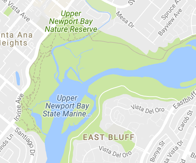
Location of the “Diversity of Upper Newport Bay” project on iNaturalist. Colored placemarks are links to observations of different categories of animals and plants.
The program allows users to create “projects” in which observations in a specific area or of specific taxa are automatically aggregated. For example, Nathan Taxel, Resource Specialist at Upper Newport Bay Nature Preserve, initiated the project “Diversity of Upper Newport Bay” (www.inaturalist.org/projects/diversity-of-upper-newport-bay-nature-preserve) which automatically collects all gps-tagged observations within the boundaries of the county park as well as the state wildlife
preserve
Older photos can be posted to iNaturalist, even if they are not gps-tagged. Multiple photos of the same specimen may be added as well as the location with whatever degree of accuracy is available for the photo. Cell phone photos are usually of sufficient quality, are automatically gps tagged and can be instantly uploaded. It is still a major challenge to use cell phones for telephoto shots or for smaller or microscopic subjects, but accessory lenses and software applications are quickly closing the gap.