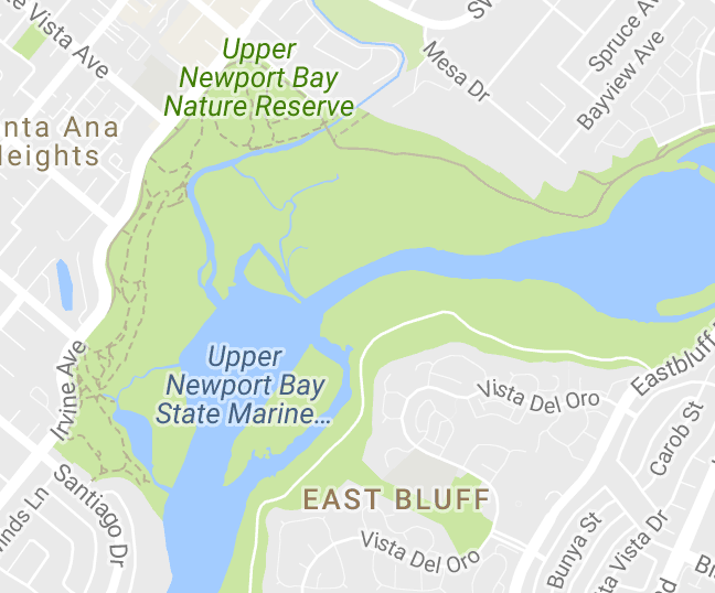
The Back Bay was carved out relatively recently on geological timescales. During a time period called the “Pleistocene” from 2.6 million years ago to 10,000 years ago, the Earth experienced many cooler periods when ice and snow extended much further south than they do today. Glaciers never covered Orange County but our climate was cooler and much wetter than today. As a result, a larger Santa Ana River flowed from the San Bernardino Mountains down to the ocean, eroding and carving out the rock as it went. Due to the extensive glaciers on land at that time, global sea level was much lower – by as much as 300 feet. The river therefore carved out a canyon down to 123 feet below our current sea level in places and, if we look offshore from Newport Beach, we can see an underwater canyon that is a continuation of that river channel (see google image above). Once the climate warmed and the ice melted, sea level rose again and flooded into the valley left behind by the river, filling it in with sediment and forming the shallow estuary we see today.
But if the Santa Ana River carved out the Bay, why does it flow into the ocean further north today? Due to the construction of the Bitter Point Dam in 1920 that rerouted the Santa Ana River from Newport Bay to its current position. This was one of a series of projects designed to control the river and prevent huge floods like those that had cost lives and destroyed crops in 1862 and again in 1916. As a result, the Santa Ana River channel today has been heavily engineered to help direct the river to the sea, preventing any changes to its route and possible flood damage to the homes and neighborhoods it passes through.
However, our Bay is still a work in progress! New winter storms bring sediment from inland and redistribute it throughout the Bay. Tides and currents also shape the area, as do human activities as we build or dredge out sediment. Lastly, sea level is rising once again as ice melts at the poles and our oceans warm. Come back in another few thousand years and the Bay will look very different!
Resources:
Phillip Hughes: The Geology of Upper Newport Bay, Orange County, California.
https://www.kcet.org/shows/lost-la/the-santa-ana-river-how-it-shaped-orange-county
________________________
Do you have a question about the Bay that you would like to ask our naturalists? If so please send your question to info@newportbay.org and look out for answers on the NBC website and social media.